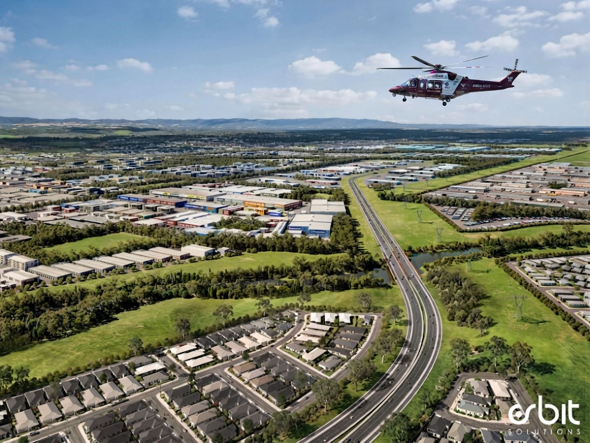
Transport & Aviation
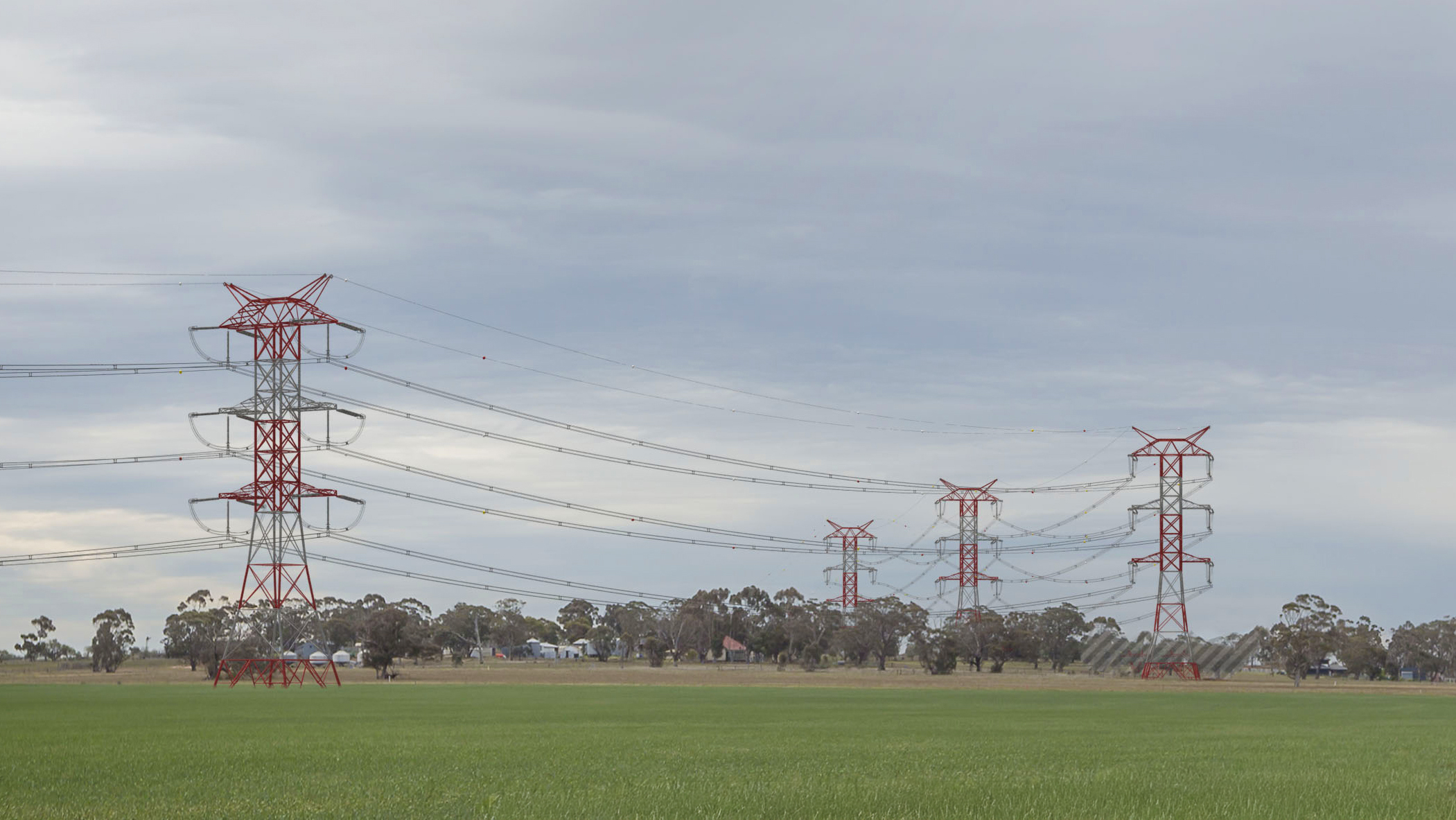
Supported by extensive experience as independent experts on national and international developments, we provide specialised visual assessments for comprehensive transport and infrastructure networks. This includes major land transport corridors, highways, rail networks, and associated service facilities, alongside complex aviation projects covering obstacle limitation surface assessments and master planning, as well as specialised maritime and underwater engineering visualisations.
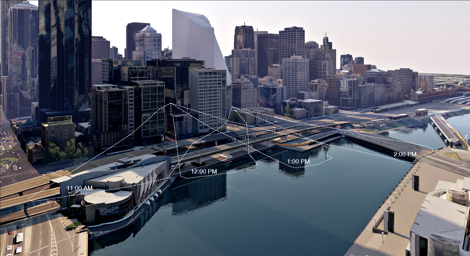
Through rigorous viewpoint selection, corridor visibility mapping, and dynamic simulations, we ensure transport projects balance operational efficiency with community visual amenity.
RELATED PROJECTS


.jpg)
%20copy.jpg)
.jpg)